Reading the karst
The landscape
Limestone towers, two rivers, and a plain that floods every summer. These notes explain why the valley looks the way it does, and where to stand to see it clearly.
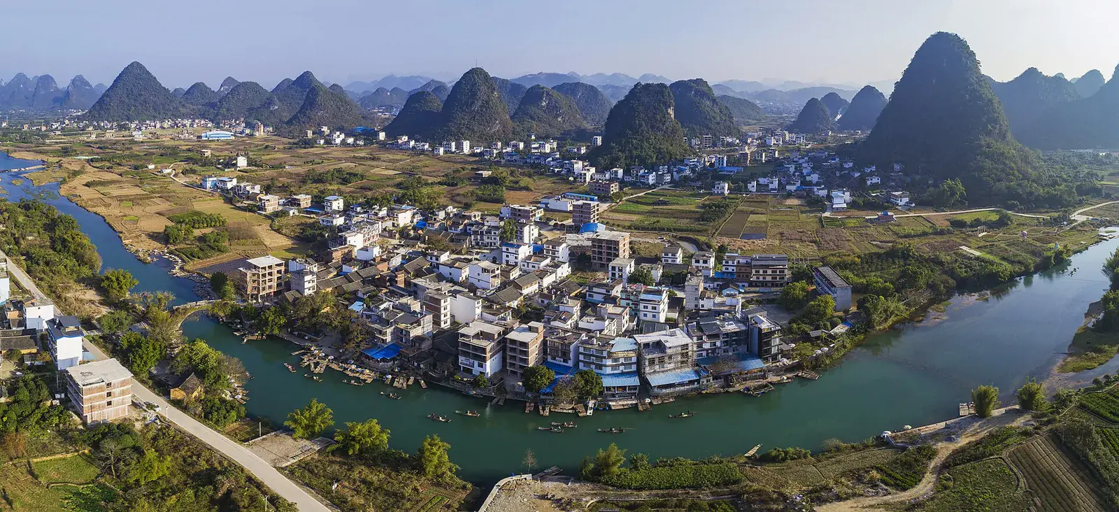 Photo: Chensiyuan
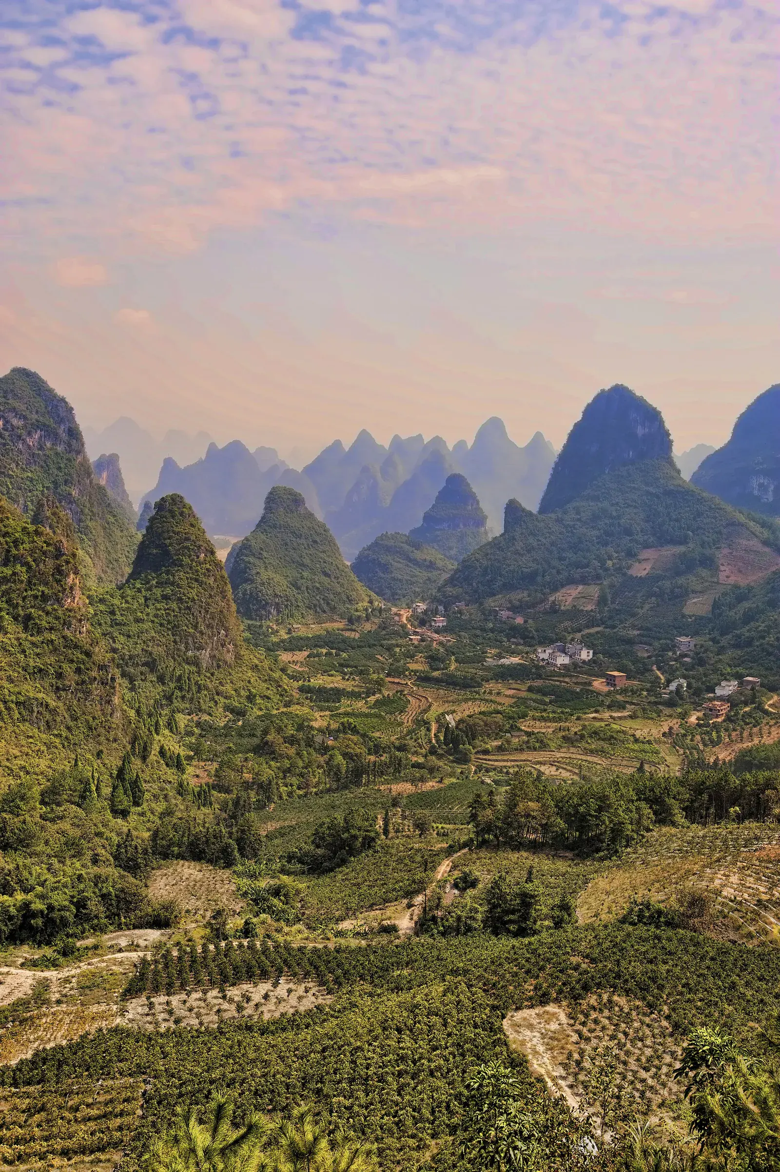
Yangshuo sits in a basin of Carboniferous and Devonian limestone, close to the point where the Li River turns south through the last range before the Guangxi plain. The peaks are not volcanic cones or folds. They are the remains of a thick marine limestone bed, dissolved along joints and bedding planes over tens of millions of years. What is left stands as isolated towers and clustered ridges, with soil-filled corridors between them.
That geology decides everything else: where the villages sit, where the rice can grow, where the roads bend, and why the light behaves the way it does at dawn. Read these pages before you book a boat. The landscape is not scenery here; it is the operating system of the trip.
Start with the Li River if this is your first visit. Then take the Yulong valley on a bicycle, and give Moon Hill or Xianggong Hill a clear morning rather than a rushed afternoon.
 Water
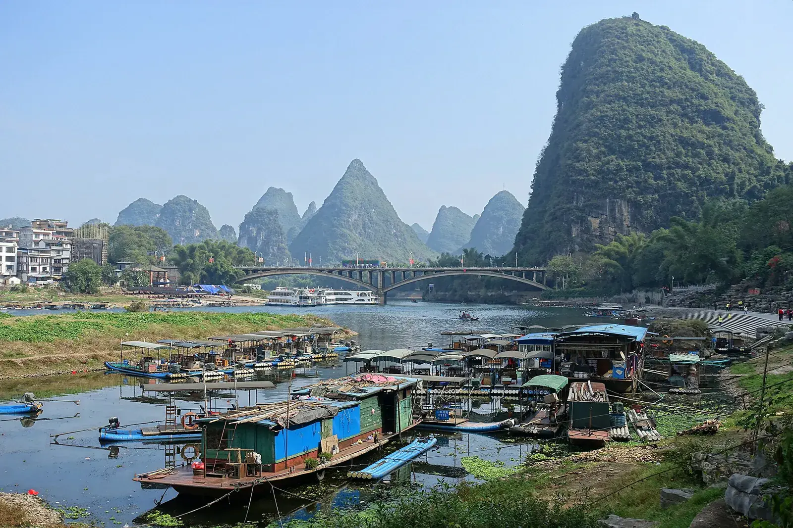
The Li River: reading the current
How to read the Li River at Yangshuo: the best hours, the seasonal water, which stretch to choose, and how to avoid the tour-boat fleet.
 River bend
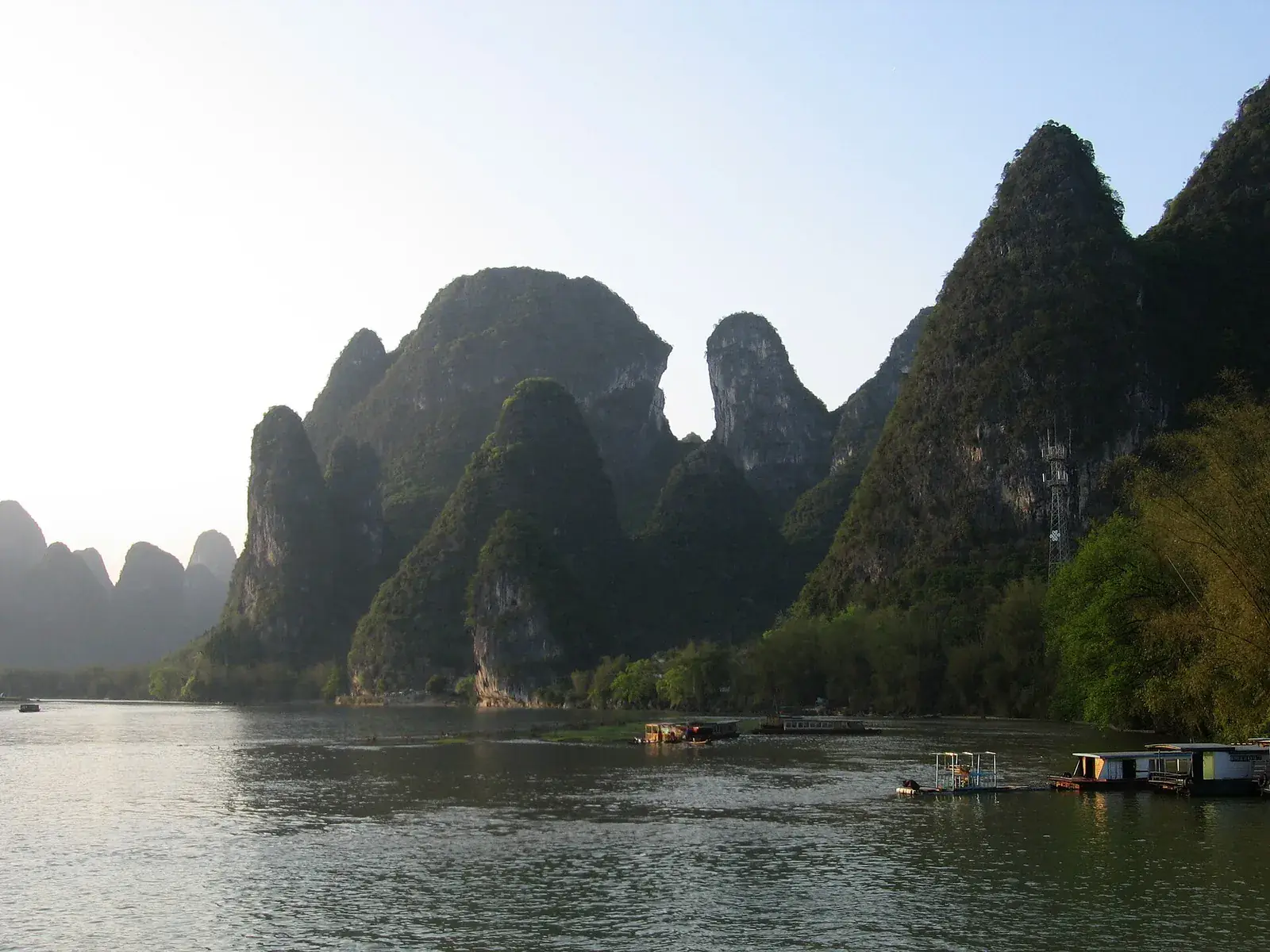
Xingping: the bend that made the postcard
A guide to Xingping and the Li River bend: the twenty-yuan view, where to walk, when to arrive, and why staying overnight changes the place.
 Viewpoint
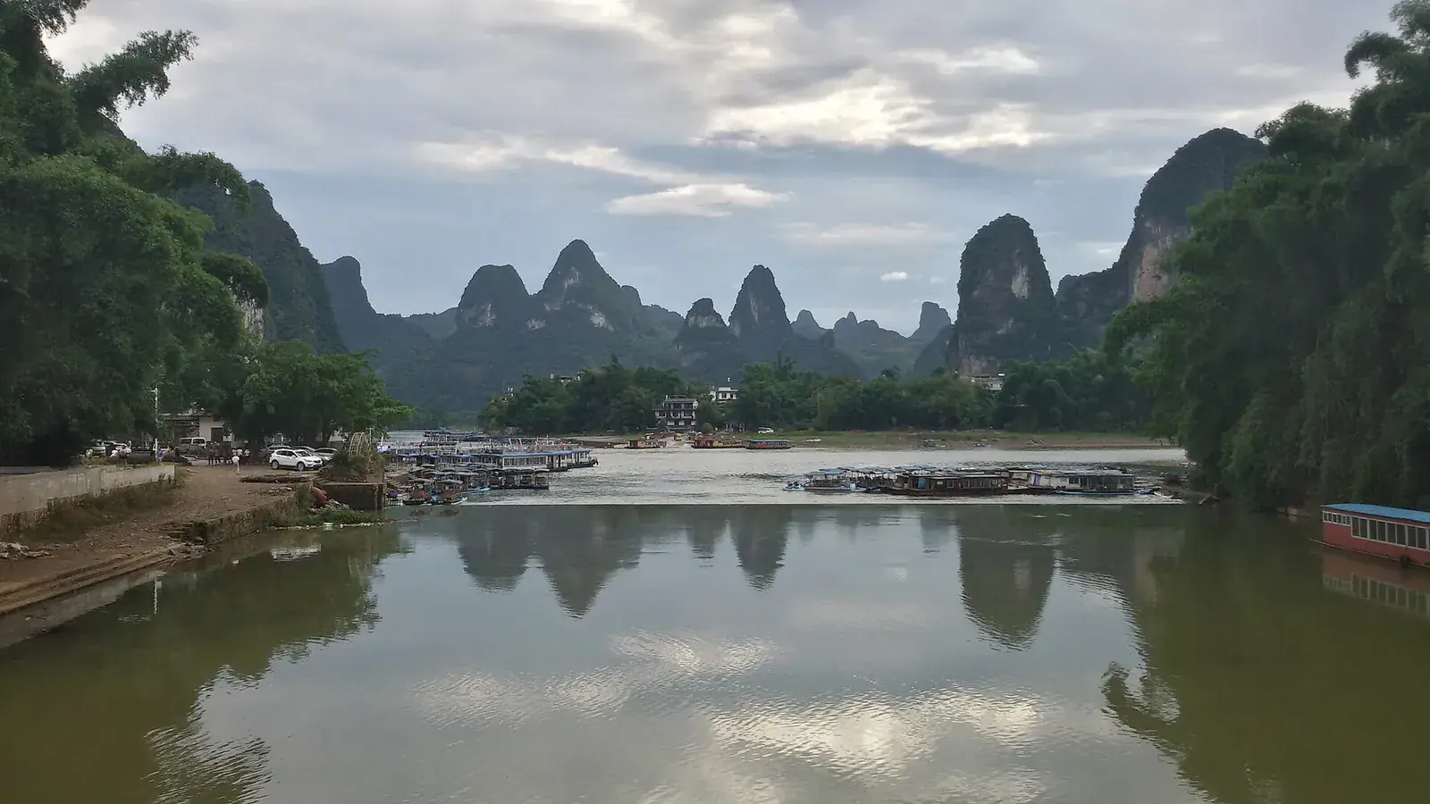
Xianggong Hill at sunrise
Xianggong Hill sunrise: the climb, the view, the crowds, the weather and how to get there from Xingping or Yangshuo.
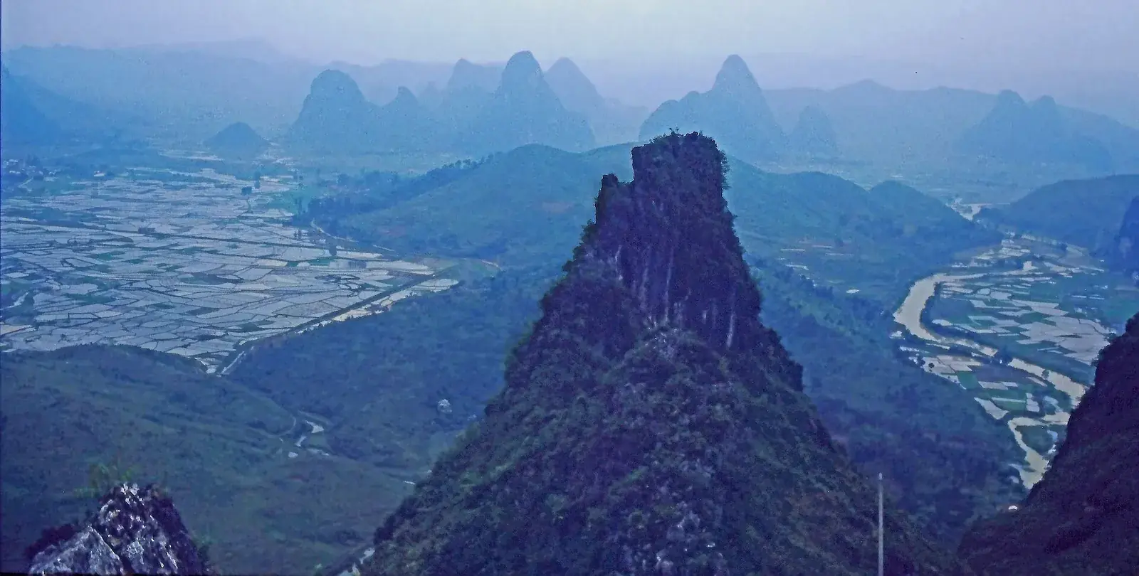 Viewpoint
Moon Hill and the arch above the valley
Moon Hill Yangshuo: the climb, the arch, the viewpoint, how long it takes, and whether it is worth it for families and casual walkers.
 Water
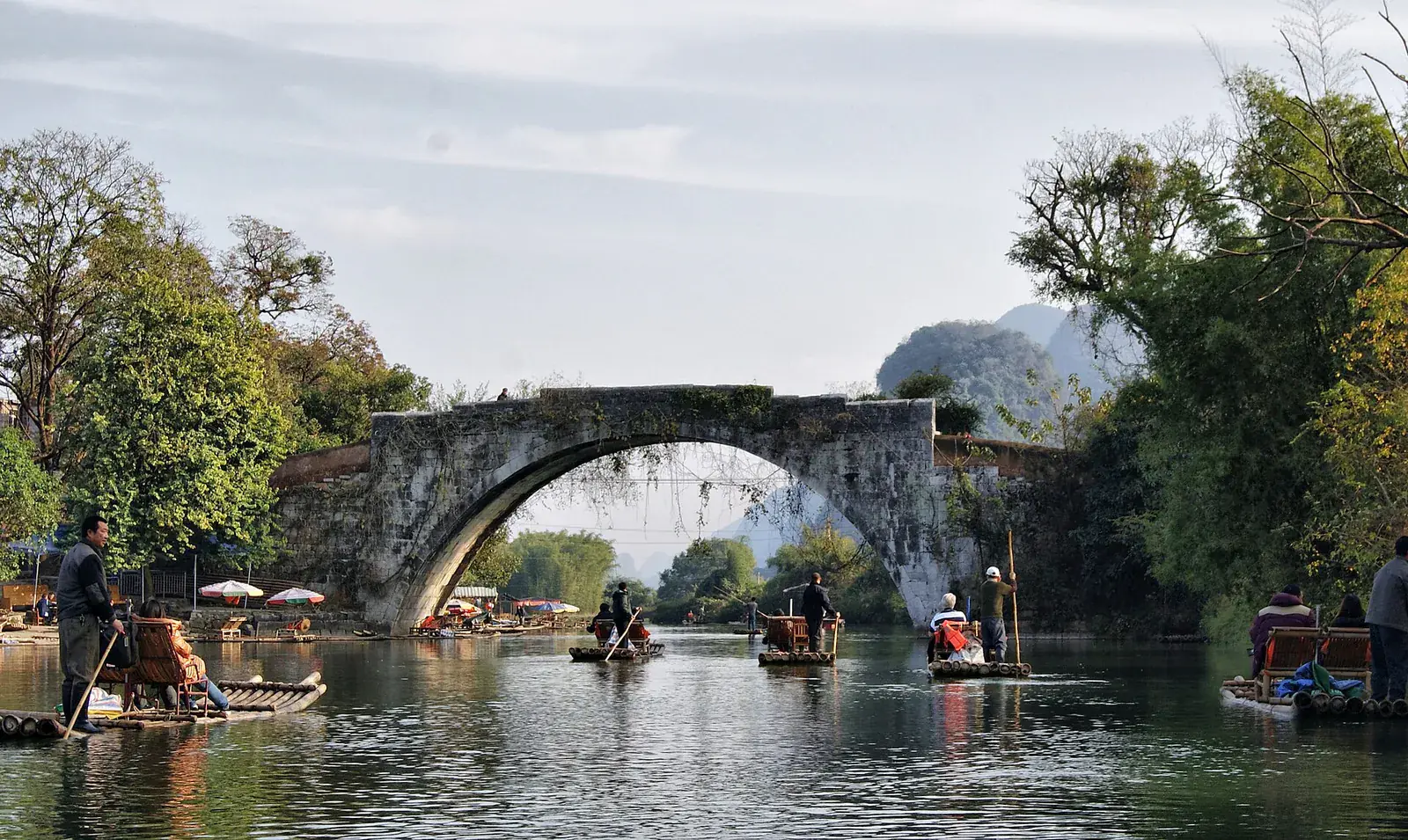
The Yulong: the valley's other river
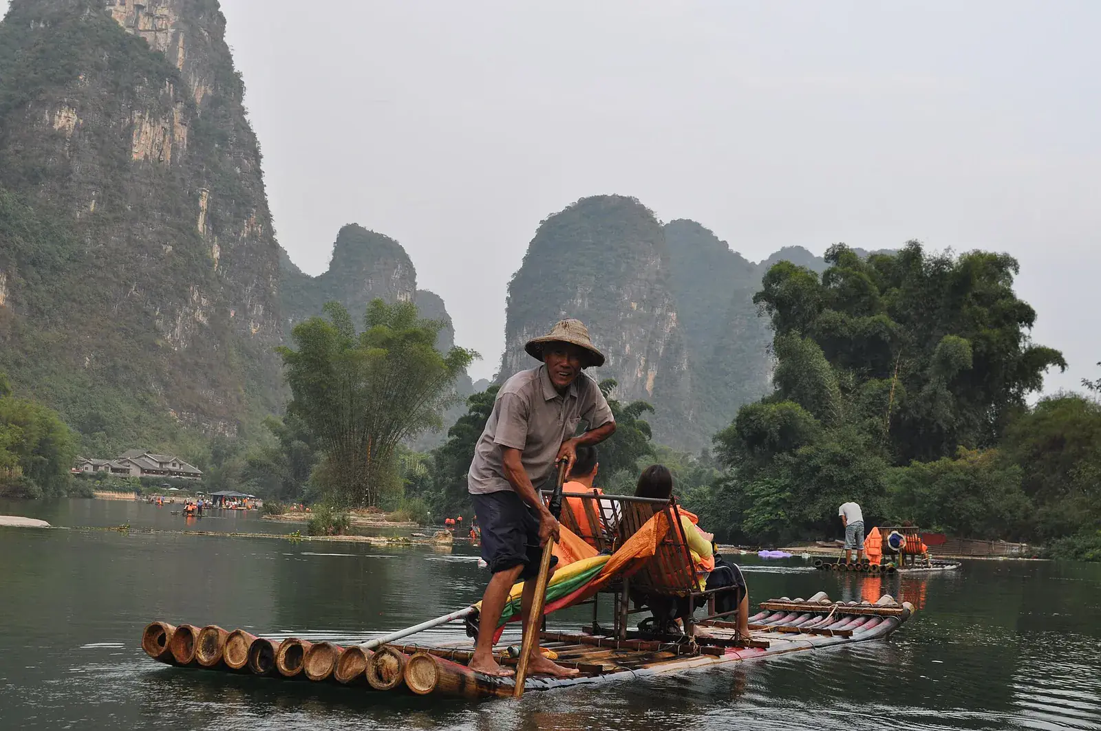
The Yulong River near Yangshuo: bamboo rafts, stone bridges, cycling routes, swimming safety, and how to find the quiet stretches.
 Geology
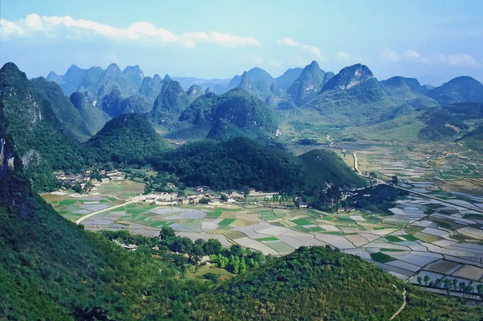
How the karst was made
The geology of Yangshuo's karst landscape: limestone deposition, dissolution, tower formation and how to read the peaks and caves around the Li River.
 Fields
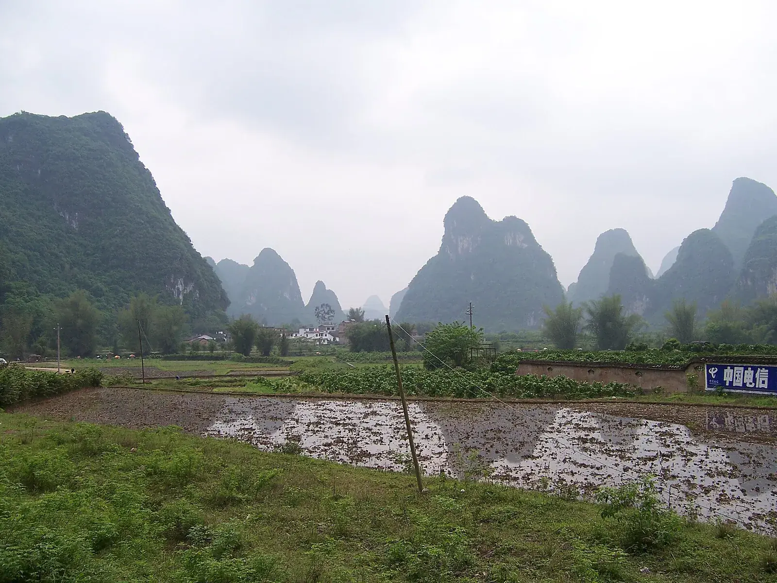
The fields between the peaks
Yangshuo's rice fields and farming year: when the fields are green or gold, how to walk respectfully, and what else grows in the valley.
 Backroads
The east bank: a quieter karst
The east bank of the Li River near Yangshuo: quiet lanes, small villages, karst views and a half-day route away from the main tourist circuit.
 On the water
Bamboo rafts: which river, which stretch
Bamboo rafting in Yangshuo: Yulong River versus the Li River, the best stretches, prices, timing, weirs, weather and how to avoid the worst of the crowds.
Go deeper
See the valley at the right hour.
Most of the difference between a good Yangshuo day and a disappointing one is timing. Tell me your dates and I will tell you where the light and the crowds will be.
No booking forms, no call centre. I reply personally, usually within a day.