Away from the postcard
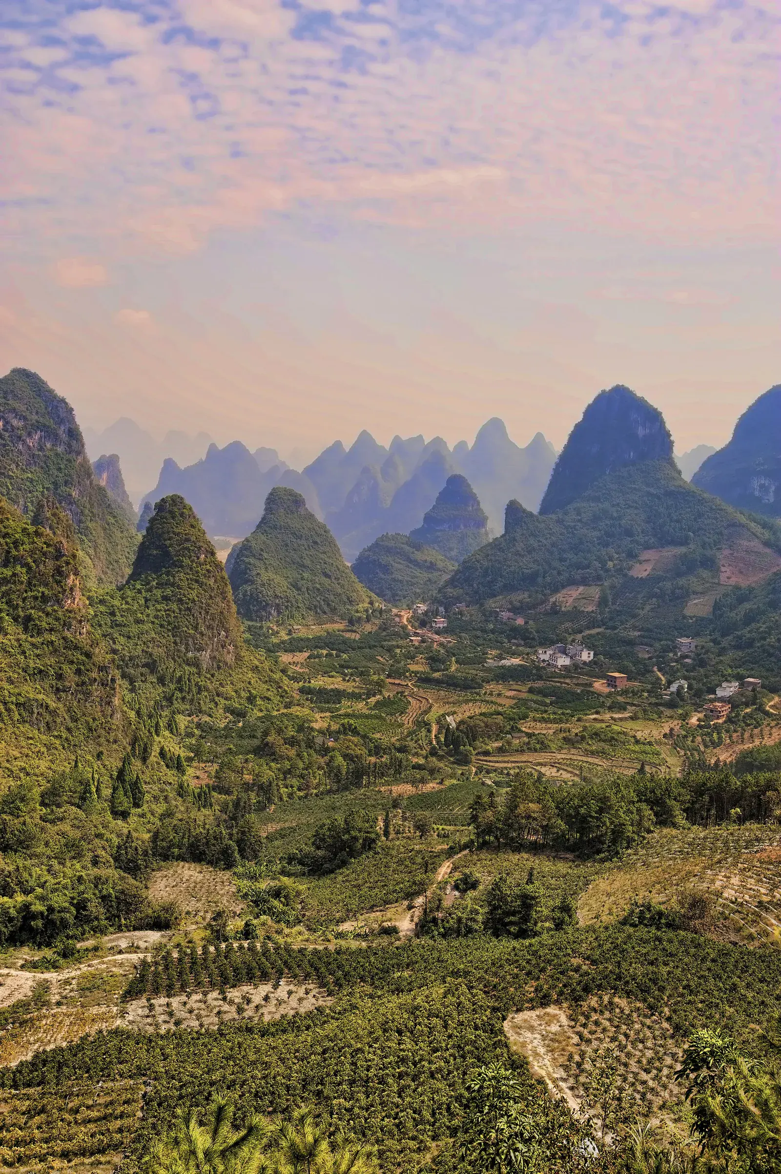
This ride goes north and west of Yangshuo, through the agricultural land around Baisha and the smaller lanes beyond it. The peaks are lower and more scattered than on the Li, and the villages are farming settlements rather than tourism stops.
It is not a signed route. You need a map, a sense of direction and the willingness to turn around when a lane dead-ends. That is part of the appeal.
The route
Leave Yangshuo on the Baisha road, then turn west onto the farm lanes before the town. Follow the concrete tracks through the fields, aiming for the villages at the base of the hills. A loop back through the northern edge of the Yulong valley is possible but adds distance.
The surface varies from good concrete to broken tarmac and dirt. After rain, some sections become muddy or impassable. Check conditions locally before you commit.
What you will see
This is the valley’s working landscape: rice paddies, vegetable plots, orchards, water buffalo, small brick houses and the occasional new building going up. In autumn you may see kumquats and persimmons being harvested.
There are few formal viewpoints. The best views are from the road itself, especially where it rises over a low ridge and the fields open out. Stop where it is safe, not in the middle of the lane.
Practical notes
Carry more water than you think you need. There are small shops in the villages, but opening hours are unpredictable and English is not spoken. A paper map or an offline map is useful; signal can be patchy.
This is a full-day ride for most people. Start early, set a turnaround time, and do not attempt it in the rainy season without checking the forecast.
Questions
Practical notes
Do you need a guide for the backroads?
Not strictly, but navigation is not obvious and the lanes are not signposted. A guide or a pre-loaded route makes the day much easier.
Is this ride suitable for beginners?
No. The distance, surface and navigation make it a day for confident cyclists.